

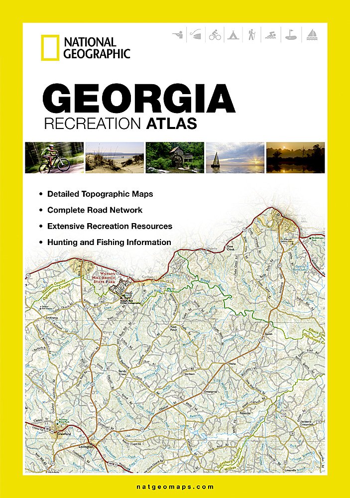
Georgia Recreation Atlas (National Geographic Recreation Atlas)
$24.95
Related Products


Price: $24.95
(as of Jun 06,2026 05:06:41 UTC – Details)

• Detailed topographic maps with shaded relief for the entire state. Map scale is 1:150,000
• Each labeled feature is up-to-date and verified by satellite image
• Comprehensive, easy-to-read road network
• Boundaries for parks and federal lands
• Clearly-labeled lakes, rivers and streams
• Durable laminated cover
• Size 11"x15"
• Robust travel and recreation information
– Cross-referenced chart of fishing areas with species information
– Game management units
– Campgrounds and attraction charts
– State Parks maps and facilities
– Hiking, golfing, skiing and paddling destinations
– Climate information
- Map Scale = 1:150,000
- Folded Size = 10.75″ x 15.5″
Publisher:Natl Geographic Society Maps; 2012th edition (October 1, 2012)
Language:English
Paperback:144 pages
ISBN-10:1597755230
ISBN-13:978-1597755238
Item Weight:1.2 pounds
Dimensions:10.6 x 0.9 x 15.1 inches

There are no reviews yet.